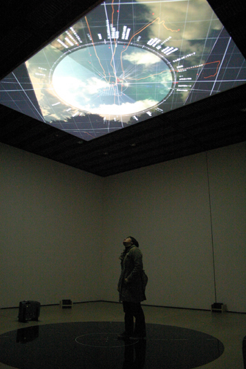
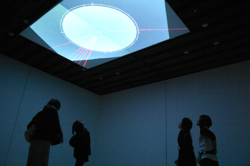
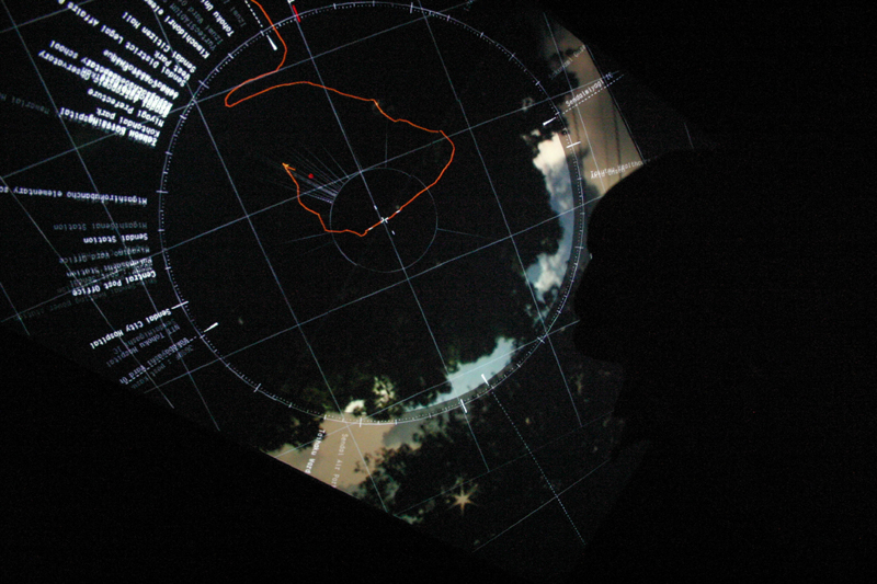
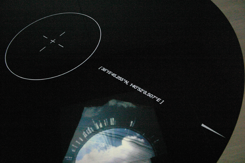
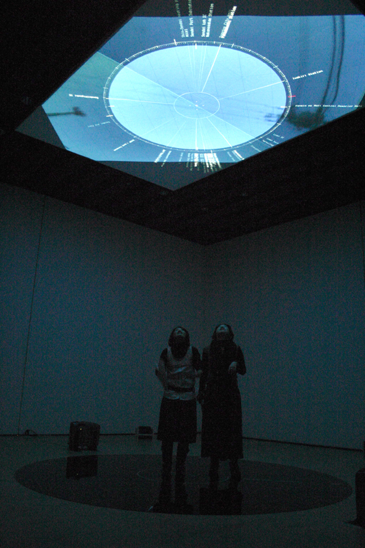
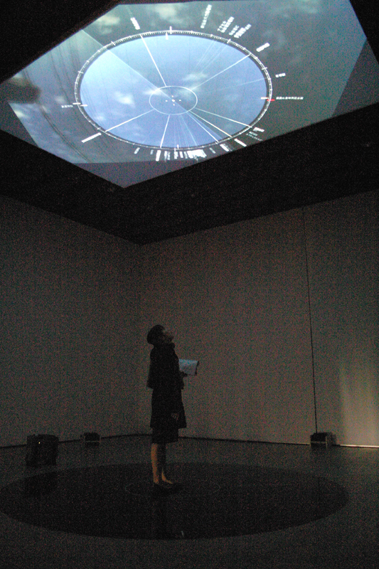
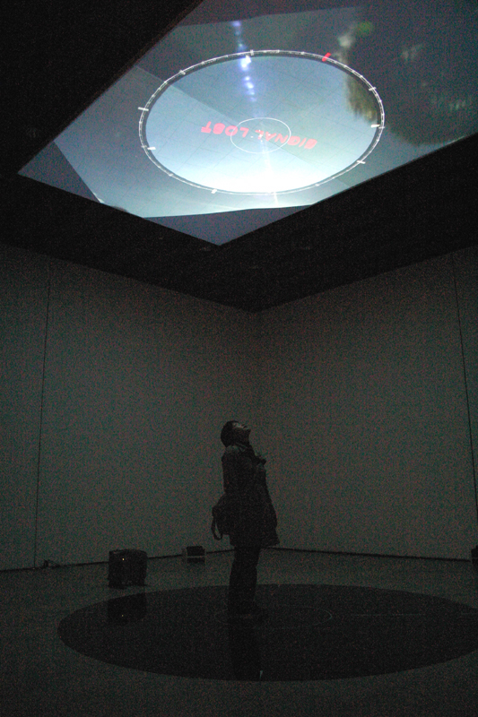
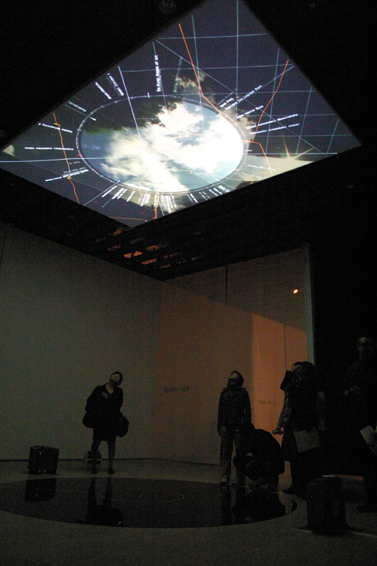
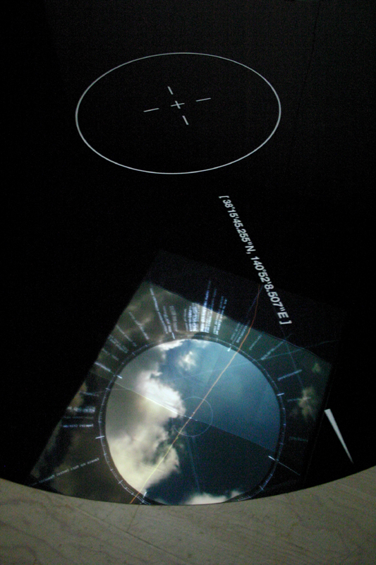
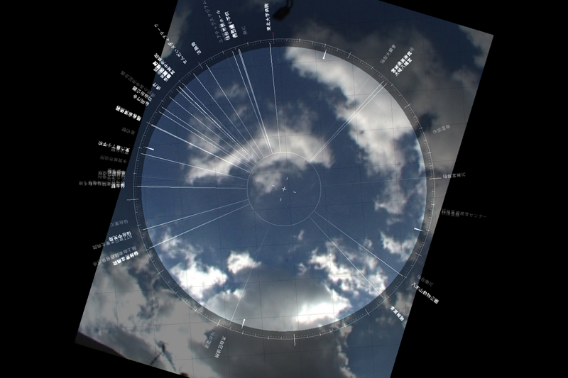
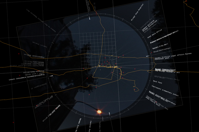
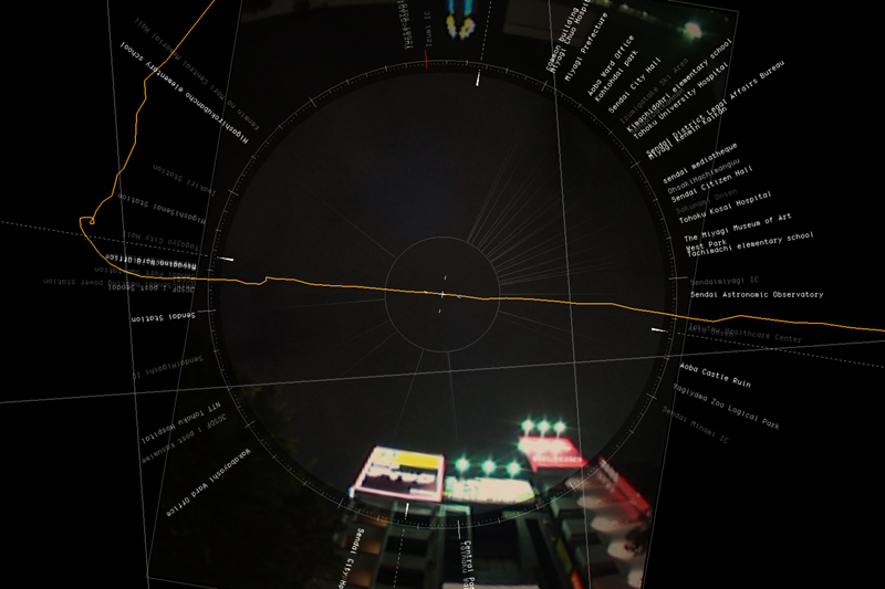
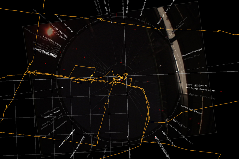
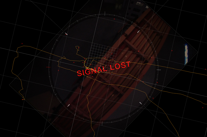
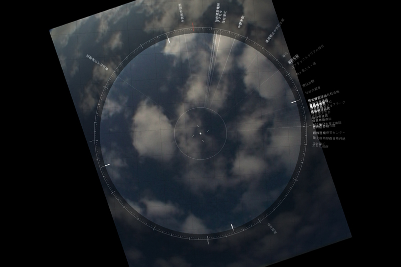
GPS、魚眼レンズを装着したビデオカメラを車に搭載し、車両の前後にマイクを取り付けて収集したデータを、方角を実際の空間と一致したかたちでインスタレーションとして再構築した。
The data : collected by GPS, Fish-eye lens mounted video camera, microphones that put on the car. they are reconstructed as an installation. the direction in the video and real-space are synchronized.

--
地球は平面だろうか?
極小において、重力方向に垂直であるという点で、地表は平面である。
本作は、同時に展示された"GLOBAL BEARING"の球状の地球に対するアプローチと対比する形で、水平方向に拡張していくベクトルを強調した作品である。
本作で暗に示されたのは、我々の身体の位置を緯度経度で計測するという行為は、実は緯度経度というバーチャルなグリッド上に実空間をマッピングしていくことであり、 計測可能であるということと、実在しているということは本質的に意味が異なるという事実ではないか?

The earth's surface is a plane, isn't it ?
This piece emphasizes the vector that extends horizontal contrasted with vertical vector in "GLOBAL BEARING".
The implication of this artwork might be that actually, measuring position of our body by lat/long means mapping the real world to virtual grid that defined by lat/long. Doesn't it mean that essential difference between being possible to be measured and being existing ?